
Sonoran Desert National Monument
|
The Sonoran Desert National Monument encompasses 487,000 acres southwest of Phoenix. Much of the monument is wilderness with no motorized access. Route 8001 skirts the north edge of the North Maricopa Mountains Wilderness. It can be accessed from Highway 85 at Woods Road, about 21 miles south of I-17. There is no sign for the monument at the highway. It follows a narrow valley between rugged mountains of the North Maricopa Range. Saguaros and Creosote are the predominant plants. Mesquite and Palo Verde Trees grow along numerous dry washes.
 The monument sign is well off the highway.
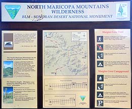 Route 8001E branches off to the south. It leads into the North Maricopa Mountains Wilderness and ends at Margie's Cove Campground.
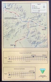 The Margie's Cove Trail leads nine miles to the far side of the wilderness.
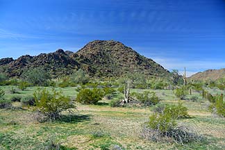 The desert is carpeted with grass.
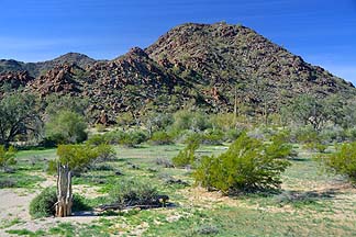 F-16s from Luke Air Force Base flew overhead on their way to and from the Barry M. Goldwater Range as we hiked along Margie's Cove Trail. Occasionally, the sound of distant explosions could be heard.
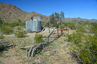 A toppled windmill lies alongside an old well and cistern.
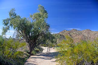 Mesquite Trees grow along the dry washes.
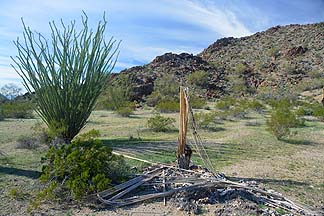 The Ocotillo is covered with leaves, indicating that the plant has gotten plenty of water recently.
Link to the BLM web page about the Sonoran Desert National Monument.
Follow @BrianLockett on Twitter for updates on the releases of my new calendars, books, and prints. Watch for coupon codes for special savings on my books and calendars at Lulu.com.
Follow Brian Lockett on Google+.
Follow Brian Lockett on FaceBook.
Visit my channel on YouTube.
 Send a message to Brian.